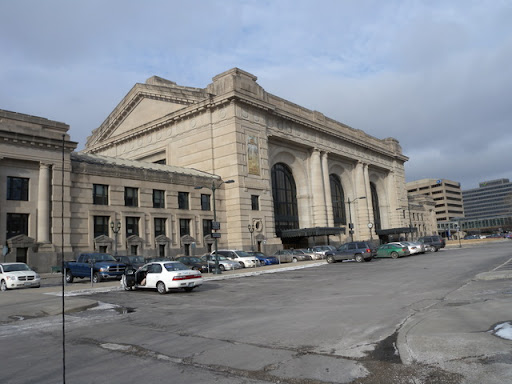
As a part of the "Set Your Course"
STEM program, some of the Kansas City area Girl Scouts created a collection of geotagged photos around town (and country). Great idea!
Upper elementary and social studies teachers might find landmark mapping useful for helping to teach about
community identity and a
sense of place. What landmarks symbolize your city? Why are they present and when were they created? You might have students focus on a particular type of landmarks, such as statues, fountains, historical sites, or public places.
In general, geotagged landmarks maps like this one are great ways to introduce geotagging. Teachers might ask students to bring in one image that students (with their parents) take and bring into class. Set up some basic requirements for the photos (e.g. no recognizable people, structure should be clearly identifiable, images should be in a .JPG format) - then create a gallery on a photo sharing website (e.g. Flickr, Google PicasaWeb, Panoramio) and let the kids contribute their images. It's often helpful if students bring in the address of the landmark, to help speed the geotagging.